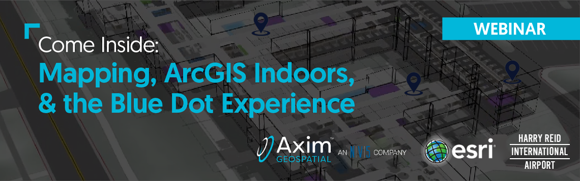
Come Inside: Mapping, ArcGIS Indoors, & the Blue Dot Experience Recorded April 28, 2022
It’s time for mapping capabilities to come indoors, regardless of how many floors, assets, or complexities are in your commercial building, university campus, or airport facility. The concept of Smart Cities can be applied inward for Smart Building Management. Just think of the impact the digital twin of a building could have on facility operations, maintenance, security, employee, and visitor experiences.
Indoor GIS has come a long way over the years. In this webinar, we’ll provide a quick historical look before providing multiple ways you can map your indoors. We'll hear from Harry Reid International Airport (FKA McCarran International Airport) on their experience pushing the envelope in leveraging indoor mapping and why they recently chose to adopt the ArcGIS Indoors System. Finally, we'll answer questions regarding the new ArcGIS Indoors pricing model and ArcGIS IPS with blue dot technology.
Learn:
Evolution of Indoor Mapping & GIS
Ways to get your indoors mapped
Customer Story: Harry Reid International Airport from Majed Khater
New pricing model and capabilities of ArcGIS Indoors from Esri's Beau Ryck
Business integration potential with Cityworks, ArcGIS IPS, and more
.png?width=172&height=88&name=indoor_GIS_white_background_716x367-lg%20(1).png)
